
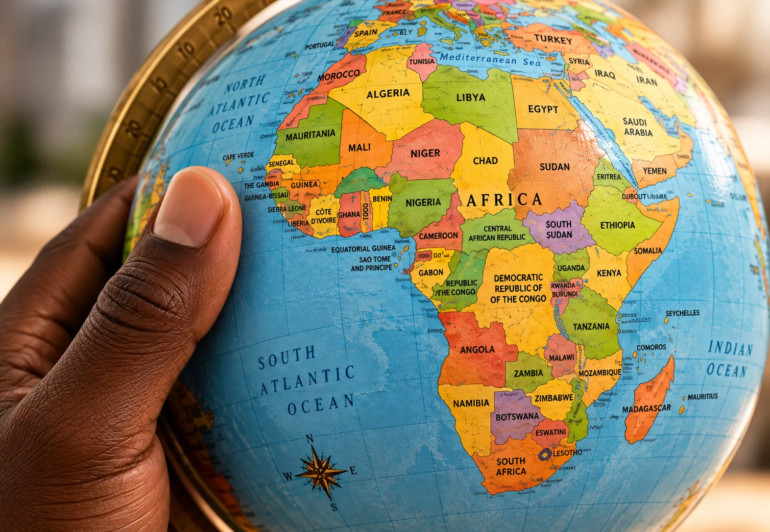
For more than four centuries, the world has grown accustomed to looking at maps that do not accurately represent the size of the continents. The Mercator projection, designed to guide navigators across the oceans, has become one of the most widely used representations of the planet. However, its usefulness for navigation conceals a geographical distortion: landmasses appear progressively larger the further they are from the equator, creating a disproportionate perception of the Earth's surface.
On 4 September 2026, the United Nations General Assembly took a step towards correcting this representation. With 164 votes in favour and only one against, it adopted the “Correct the Map” resolution, which advocates the use of the “Equal Earth” projection, designed to depict the continents according to their true proportions.
Although the resolution is not legally binding, it encourages governments, educational institutions, media organisations, international organisations and technology platforms to give preference to equal-area maps, particularly when the aim is to compare the territorial extent of different regions of the world.
Developed in 2018, the “Equal Earth” projection seeks to correct one of the main limitations of traditional maps: the unequal representation of continental land areas. To preserve their true proportions, it introduces changes to geographical shapes, demonstrating that no flat representation can fully reproduce the Earth's curved surface without some degree of distortion.
This difference becomes particularly evident when comparing Africa, Canada and Greenland. On Mercator maps, Greenland appears almost as large as the African continent. The figures, however, reveal a very different reality: Africa covers approximately 30.4 million square kilometres, an area around 14 times larger than Greenland.
Canada, with an area of nearly ten million square kilometres, also appears considerably enlarged in the Mercator projection because of its geographical position in the Northern Hemisphere.
The adoption of equal-area maps therefore represents a shift in the way the planet is visualised. Rather than simply changing the shapes of the continents, the initiative seeks to bring cartographic representations closer to their true dimensions, restoring Africa to its rightful geographical proportions after centuries of appearing visually diminished on the world's most widely used maps.


