
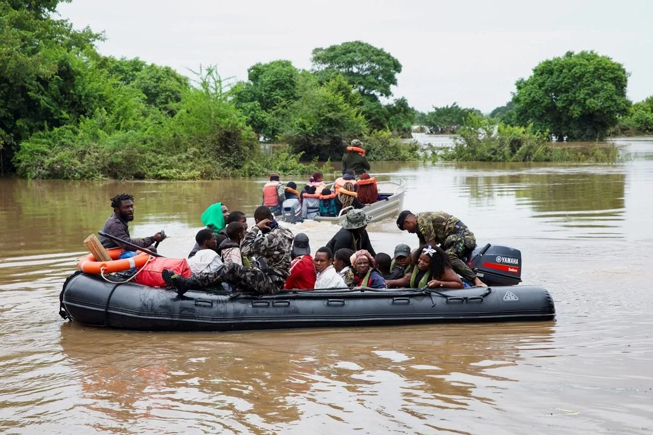
Southern Mozambique is facing a renewed threat of flooding. Increased water releases from South Africa’s Pongolapoort Dam, which have reached 700 cubic metres per second, could cause a significant rise in water levels in the Maputo River over the next 48 hours, threatening farmland and disrupting road access in several riverside communities.
The warning was issued on Wednesday, 11 November, by the National Directorate of Water Resources Management (DNGRH), which expects hydrological conditions in the Maputo River basin to deteriorate following an increase in dam releases recorded on Sunday.
“The effects of these water releases could be felt in Mozambican territory within 48 hours of this statement being issued. During this period, the river’s flow is expected to continue rising and could reach its peak,” the institution warned.
Authorities have identified Catuane, Salamanga and Tinonganine as among the areas likely to face the greatest difficulties, particularly due to the risk of farmland flooding and disruptions to road traffic.
“The rising river levels could worsen flooding of agricultural fields in riverside areas and disrupt road traffic in the localities of Catuane, Salamanga and Tinonganine,” the DNGRH explained.
In light of the expected developments, the institution has urged residents in potentially affected areas to exercise extreme caution, advising them to avoid crossing the river or entering already flooded land, particularly agricultural areas near the riverbanks.
Where crossings are unavoidable, communities should coordinate in advance with the National Institute for Disaster Risk Management and Reduction (INGD) to arrange the use of boats that meet appropriate safety standards.
Meanwhile, the DNGRH has assured the public that it will continue monitoring water releases from Pongolapoort Dam and tracking water levels at Madubula, pledging to provide further updates as the situation develops.
The warning comes as Mozambique remains particularly exposed to extreme weather events. The country ranks among the African nations most vulnerable to the effects of climate change and is frequently struck by floods, tropical cyclones and severe storms, resulting in significant loss of life and material damage.
Figures from the most recent rainy season illustrate the extent of this vulnerability. According to INGD data, between October 2025 and April 2026, weather-related events claimed 311 lives and affected approximately 1.07 million people across different regions of the country.
As part of efforts to strengthen its capacity to respond to emergencies of this nature, the National Institute of Meteorology (INAM) announced on 10 July that it had acquired nine additional drones and trained 30 certified operators to support the mapping of hard-to-reach areas, information gathering, and search and rescue operations during weather-related emergencies.
At the time, INAM Director-General Adérito Aramuge explained that the use of this equipment could help overcome the challenges faced by emergency response teams when flooding cuts off land access to isolated communities.
“We have noticed that when an event or disaster occurs, such as flooding, it becomes difficult to know what the situation is on the other side, in the flooded areas, and what is happening there. There is a need to carry out mapping to determine whether there are people stranded in trees who need to be rescued, because reaching those areas becomes difficult,” he said.
As monitoring of water levels continues, the next 48 hours will be crucial in assessing the extent of the impact of water releases from the South African dam on communities along the Maputo River basin.


